Floodplain Development Permit No. 26-13
Project description:
The Missoula County Planning, Development and Sustainability Department (PDS) has received Floodplain Development Permit Application #26-13 from Gretchen Watkins for stream restoration work.
The primary purpose of the Floodplain Development Permit is to promote public health, safety and general welfare, to minimize flood losses in areas subject to flood hazards, and to promote wise use of the floodplain.
Project location:
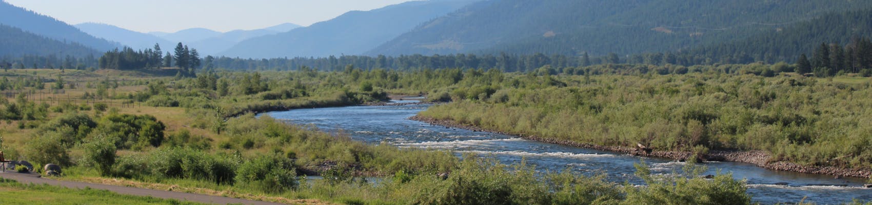
The site is located at the lower reach of Grant Creek near 1655 Frey Lane in the FEMA-designate Clark Fork River floodplain: Tracts D & E, COS 5108, S14, T13N, R20W, in Missoula County. See location here.

The full application is available for review online or in the PDS office at 131 E Main St., in Missoula.
Please feel free to call 406-258-4657 or email floodplain@missoulacounty.us with any questions or to make an appointment to review the permit application.
Public comment:
Submit public comment through Monday, June 8, by using the comment tool below, emailing floodplain@missoulacounty.us or mailing to Planning, Development and Sustainability, Attn: Matt Heimel, Floodplain Administrator, 200 W. Broadway St., Missoula MT 59802.
Important links and documents:

Thank you for your contribution!
Help us reach out to more people in the community
Share this with family and friends