Polling Place Changes
Missoula County commissioners opened the hearing on the proposed precinct boundaries and polling places, as well as on the commissioner district boundaries, on Sept. 7. View updated maps on the County's geographic information systems map. The commissioners approved the changes at their public meeting on Nov. 30.
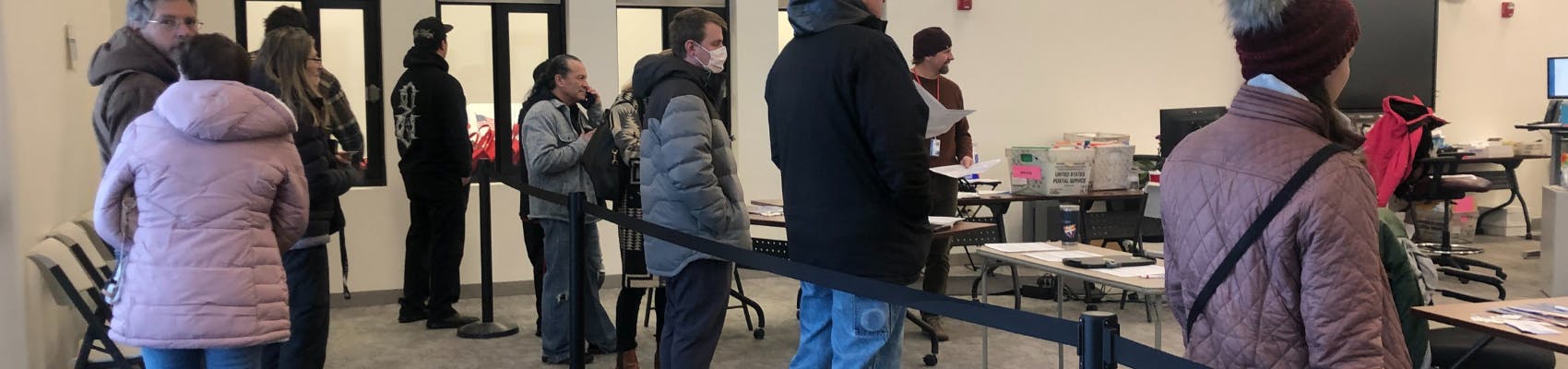
The Missoula County Elections Office is working to update precincts and polling place locations to accurately reflect changes in population and voter needs. Most voters will not see a change to their polling place, and voters will still be able to choose to vote by mail. Voters in Evaro, a section of Lolo and certain parts of the City of Missoula may see changes to where they can vote on Election Day.
Your polling place may have changed for several reasons: the building could have been difficult to access or too small for the number of voters it serves, or the entity that owns the building may have asked that it not be a polling location anymore. The Elections Office has worked with the County’s GIS Division to generate proposed changes that balances these considerations with voters’ needs.
View updated maps on the County's geographic information systems map.
The commissioners opened the hearing on the proposed precinct boundaries and polling locations and commissioner district boundaries at their public meeting on Sept 7, and made a final decision at their public meeting on Nov. 30.
Following the commissioners’ decision, the Missoula County Elections Office will inform voters of the changes and mail out new voter registration cards to all active voters if they are affected by a change. These cards will not be mailed out until after the final decision on Nov. 30. Voters will see the impact of new precincts and house districts during the 2024 election cycle.
-
Commissioner District Boundary Changes
Share Commissioner District Boundary Changes on Facebook Share Commissioner District Boundary Changes on X (formerly Twitter) Share Commissioner District Boundary Changes on Linkedin Email Commissioner District Boundary Changes linkLet us know your thoughts by Thursday, Nov. 9, on the commissioner district boundary updates.
Per state law, county commissioner districts must be updated every 10 years after each census. When creating commissioner districts, state law requires that they be as even in population and area as possible.
Missoula County has received requests in the past to reshape the commissioner districts to reflect a bullseye pattern to have commissioners represent urban, semi-urban and rural districts. This would not meet the legal requirement though, since each district must be as equal in population and geographic size as possible.
To ensure accuracy when drawing the new boundaries, Missoula County used a mapping tool that has population data from the census to draw the commissioner district boundary lines.
Based off this tool, the County proposes these changes to the commissioner districts:

The Missoula County commissioners are elected at-large, not by their districts. State law requires that a candidate for county commissioner be a registered voter and resident of the district for two years to file to run for office.
The County is introducing these commissioner district boundary changes alongside the process of establishing precincts and polling locations to ensure they will all be effect for the candidate filing period for the 2024 election cycle.
The commissioners opened the hearing on commissioner district boundary changes at their public meeting on Sept. 7, and make their final decision at the public meeting at 2 p.m. Thursday, Nov. 9. This meeting will be held in the Sophie Moiese Room of the Missoula County Courthouse annex. You can also join virtually via Microsoft Teams. Find the meeting agenda and link to join at http://missoula.co/bccmeetings. The agenda will be published the Friday before the meeting.
Who's Listening
-

Phone 406-529-8980 Email bseaman@missoulacounty.us -

Phone 406-531-4026 Email ncoyan@missoulacounty.us


